
Raster • vector • apps
Portfolio Samples
Limitless Possibilities
Data Creation
Georeferenced surveys, on screen digitizing, importing GPS data, sourcing public and private data
Landsat, NAIP, States, sentinel, maxmar imagery
Raster Samples


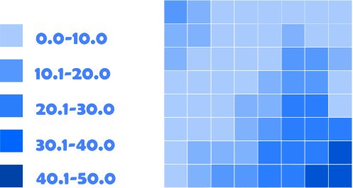
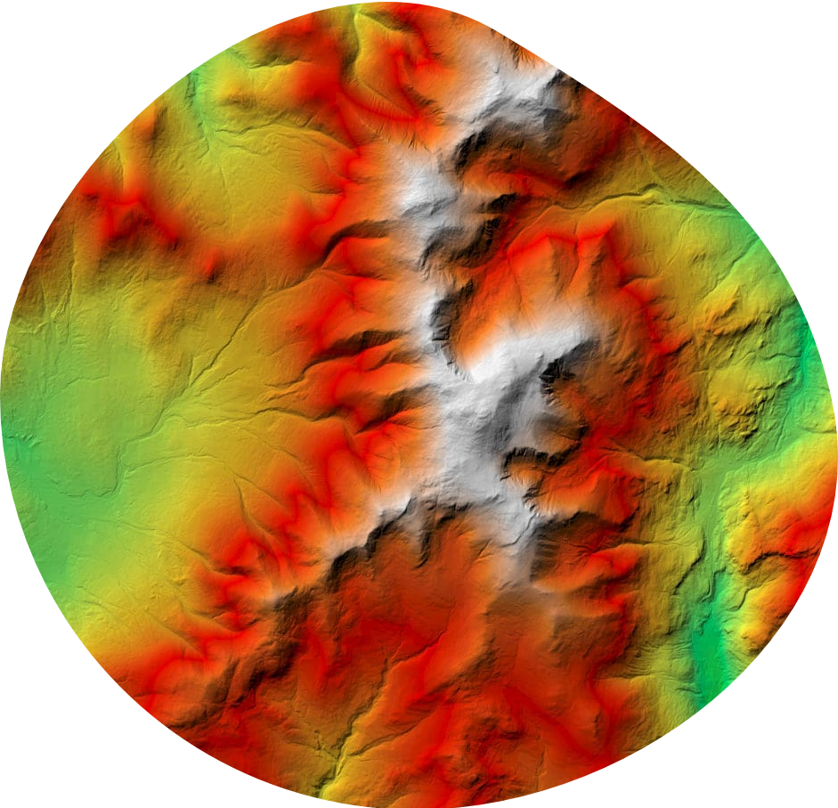
Raster Data
Raster Ratio Depicted Above
Fixed zero point on a linear scale | Age, Distance, Weight, Volume. There are four types of raster data which include interval, nominal, ordinal, and ratio noted above.
Fixed zero point on a linear scale | Age, Distance, Weight, Volume. There are four types of raster data which include interval, nominal, ordinal, and ratio noted above.

Vector Data
A coordinate-based data model that represents geographic features as points, lines, and polygons. Attributes are associated with each vector feature, as opposed to a raster data model, which associates attributes with grid cells