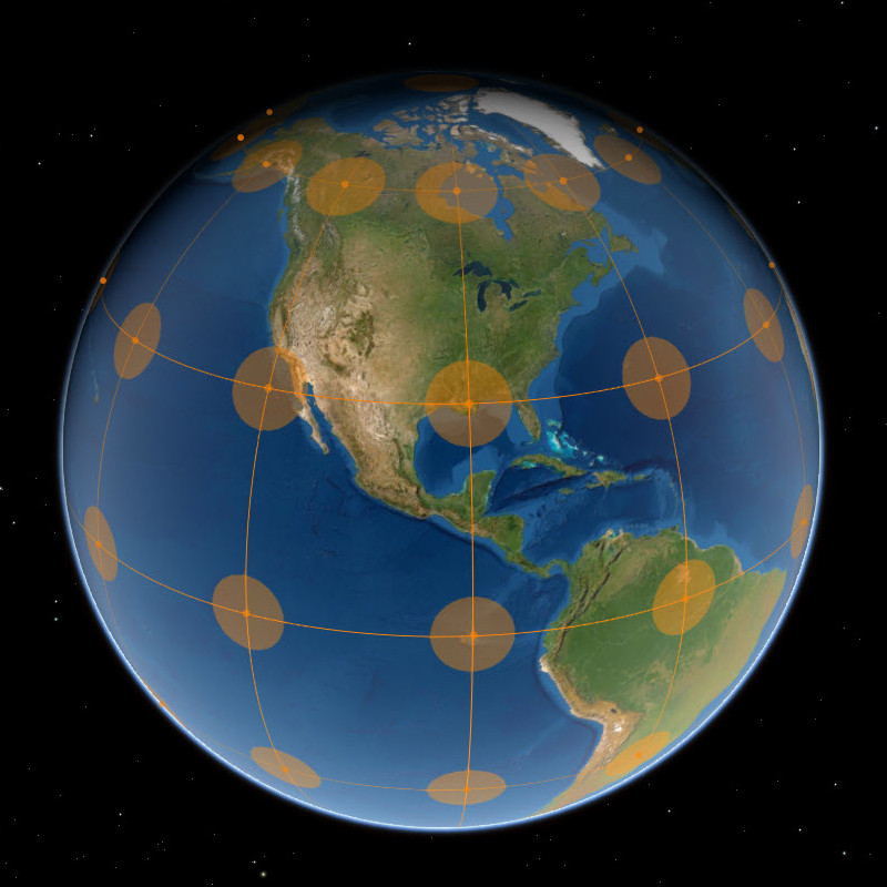
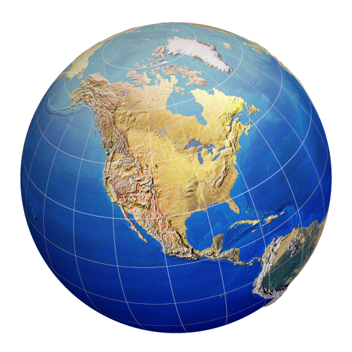
Graticules and Grids
What are graticules? A quick primer on latitude/longitude lines, measured grids, and how they’re used in cartographic design.
View MoreExplore technical articles, mapping strategies, and GIS thought pieces from the team.
What are graticules? A quick primer on latitude/longitude lines, measured grids, and how they’re used in cartographic design.
View MoreGeographic vs. Projected: how coordinate choices affect accuracy, distance, and analysis across your maps.
View MoreExplore U.S. National Parks & Forests with rich popups and map-driven exploration built with ESRI Instant Apps.
View MoreInteractive map of aggregated 2022 crime statistics reported by Michigan agencies using FBI NIBRS data.
View More